Advanced Mapping Resources
If you are a serious Drone Mapper looking for some advanced training on providing stand out deliverables to clients then this is your playground. This course will cover everything from fixing floating ground control points, cleaning up point clouds, delivering sketchfab models and .shp files & much more.

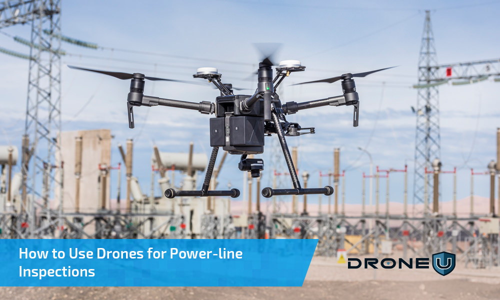
How to Use Drones for Power-line Inspections
Drones have the potential to revolutionize the way we inspect our power-lines and transmission towers. According to Navigant Research, using a drone can slash costs from $5,000 to $200 for a single transmission tower inspection. And we get far more...

DJI Phantom 4 RTK Drone – All You Need to Know About This Surveying and Mapping Powerhouse
After the extremely successful launch of the Mavic 2, drone pilots were eagerly waiting to get their hands on the DJI Phantom 5. In the midst of all this, DJI sprung another surprise by launching the DJI Phantom 4 RTK drone. Like all DJI offerings, the...


 Explore more on Drone U


