

Welcome to the #1 drone podcast, Ask Drone U.
We feature & answer actual questions from drone enthusiasts just like you!
Get your drone & business questions answered on our daily show- Detailed View
- Summary View
As a Drone Service Provider, How Do I Position My Company for Long-Term Success?
Today's question is about staying relevant in a competitive drone marketplace. How can small UAV operators successfully rival large players, and
What Are the Consequences of Shooting Down a Drone?
In today's show, we discuss a serious issue that can also be fatal - drone shoot downs. Does Federal law apply in such a scenario? And, what are some procedures that will help you deal with such an extreme situation should
Why Isn’t Flying in FPV Mode More Popular?
Today's show is about flying in FPV mode. Are there any particular reasons why flying in FPV mode is not preferred? Our caller, Dan has come up with a great question today. Dan is wondering if it is possible to grab some cool footage by flying in FPV mode. In order to answer Dan's question, we first
Is a Phantom 4 RTK Consistent or Should You Augment with PPK GPS?
Today's show is about using the Phantom 4 RTK for creating survey grade maps. Can you get reliable data with the Phantom 4 RTK? And is there any
Dos and Don’ts for Flying Your Drone over a National Park
In today's show, we share HOW you can fly your drone over a National Park. You will learn some important dos
Mavic 2 Enterprise Dual Review
Can You Use the Mavic 2 Enterprise Dual for Applications Such as Public Safety, Search and Rescue and Solar Inspections? In today's show, we are joined by Jon McBride from Rocky Mountain Unmanned Systems to discuss suitable applications, specs and workflow for
How to Capture Action Sports in the Best Possible Way Without Blurring the Subject
Today's show is about using drones to shoot action sports. How do you prevent blurry footage while shooting high speed, action sports? Our caller, Carl Smith from Saint George, Utah used his Phantom 4 Pro to capture some mountain biking footage. Unfortunately, his footage was blurry and far from
Drone News – Newark Airport Drone Sightings, DJI Fraud, Firmware Updates to Phantom 4 RTK, Mavic 2 and More by Ask Drone U
In this week's drone news, our first story is about a $150 million DJI fraud. According to industry speculations, this is just the tip of the iceberg, and this fraud could, in fact, be much larger. Has this led to a shortage of Phantom 4 drones in North America? And will this have a negative impact on DJI's
Can You Create Drone Maps Without a Licensed Surveyor?
In today's show we discuss states laws governing drone mapping. Do you really need a surveying license to create drone maps? We clarify what you
Can I Get Accurate Measurements with Previous Surveys and Scale Constraints?
Today's question is about drone surveying. Is it possible to create an accurate drone model using previous surveys and scale constraints? Our caller, Elan from Trinidad has come up with an interesting
your question
Click the button below to record your question. Please keep it to roughly a minute long, polite, non-spammy and drone or business related. Here are the full submission guidelines
RECORD - LISTEN - SENDRecord a Voice MessageTop 10 Podcasts
- 1. What should I know about drone insurance?
- 2. BONUS EPISODE: Michael Singer v. City of Newton (City Drone Ordinance Nullified!)
- 3. Is there a place for me in the real estate industry if I lack photography and video skills?
- 4. Is the DJI Spark a good drone?
- 5. INTERVIEW WITH ANDY LUTEN
- 6. How to market your drone business
- 7. DJI Drone Comparison | DJI Phantom 4 Pro, Inspire 1, Inspire 2
- 8. Can I fly my drone over people if I have their consent?
- 9. Drone Photography Pricing for land-only drone jobs
- 10. Can I fly my drone over a road?
Top 10 Blogs
- 1. Autel Evo 2 vs DJI Mavic 3 – Which Drone Should You Buy in 2020?
- 2. Part 107 License FAQ | Your Drone Certificate Questions Answered
- 3. Flying Large Drones Over 55 Pounds Using Section 333 Exemption
- 4. Drone Insurance FAQ's – How to Get the Best and Most Affordable Coverage
- 5. LAANC Apps - Using Kittyhawk and Skyward for Approval
- 6. FAADroneZone - How to Apply for a Part 107 Waiver
- 7. Little Known Facts About Part 107’s “Visual Line of Sight (VLOS)" Rule That You Might Not Be Aware Of
- 8. Should You Get Drone Jobs through Drone Base?
- 9. Flying Drones Over Streets and Moving Traffic
- 10. Best Drones for Flying in the Wind

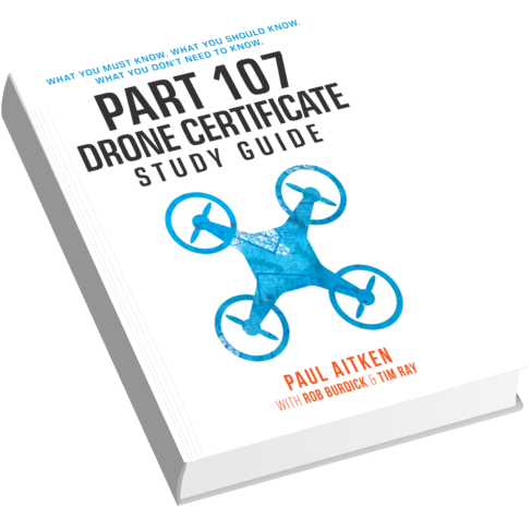
Download our No #1 Resource: Part 107 Study Guide
What's Inside this Guide?
- 2500+ pages of FAA material broken into digestible easy to read 279 pages
- Includes over 350 sample quiz & test questions(with answer keys)


