

Welcome to the #1 drone podcast, Ask Drone U.
We feature & answer actual questions from drone enthusiasts just like you!
Get your drone & business questions answered on our daily show- Detailed View
- Summary View
What Are the Drone Laws for FPV Flying? Do You Need a Part 107?
What are the Consequences of Illegal FPV Flying? Today's question is about FPV flying. Are there any serious consequences for illegal FPV pilots who break the law? Our caller for today, Bryan has a question about FPV flying. Many FPV pilots are flying without proper registration and with little
Drone News – New Skydio Drone, TFR in Area 51, Ban on Chinese Drones, Phantom 4 RTK Updates
New Skydio Drone Teaser, Ban on Chinese Manufactured Drones, Phantom 4 RTK Updates and New Mapping Workflow Proposed Law Seeks Ban on DJI Drones, DJI Airworks 2019 & Other DJI News We start our drone news for today by discussing the American Securities Drone Act of 2019, a new bill
How Pix4D React Will Revolutionize Public Safety Operations and Disaster Response
Pix4D React Sneak Peek Today's podcast episode explores Pix4D's newest mapping product, REACT which allows users to create orthomosaics of large areas in
How Can Foreign Nationals Fly Drones in the United States?
Step-by-step instructions for foreign nationals who wish to fly their drone in the United States Today's question is about foreign nationals who wish to fly their drones in the United States. As a foreign national, what is the best and easiest way to get permission to fly your drone in the United
Drone News – Prairie Village Drone Ordinance, Drone Fishing, New Skydio R2 Drone, DJI Price Increases, DJI News
Prairie Village passes new city ordinance that affects hobby drones, funny drone fishing story, new Skydio R2 drone updates, DJI increases prices by 15%, Phantom 4 Pro availability and much, much more.... Our first story this week about Prairie village, Kansas. A new city ordinance has introduced
What Is the Largest Area I Can Map with My Drone?
Considering FAA's visual line of sight rule, what is the maximum area that you can map with your drone? Today's question is about drone mapping. As per Part 107 regulations, what is the largest area that you can
Can I Fly My Drone Over Roads and Moving Vehicles?
Commercial Drone Laws for Flying a Drone over Roads and Moving Vehicles Today's question is about drone laws. As a part 107 pilot, can you fly over roads and moving vehicles? Our caller for today, Paul from Arizona, is a hobby pilot thinking of getting his Part 107. Not familiar with commercial
How Do I Vet a Drone School?
How do I ascertain if a drone school is the right fit for me? Today's question is about drone training instructors & drone schools. How do you vet a drone training instructor, and ascertain that he is qualified enough to teach you the nuances of drone flying? Our caller, Sebastian from
How Do I Get Airspace Authorization to Fly in Zero Grid Airspace?
Step by Step instructions for getting airspace authorization to fly in zero grid airspace Today's question is about flying in zero grid airspace. What is the best and fastest way of getting airspace authorization to operate in this airspace? Our caller, Chris from North Carolina has come up with
Expert Photogrammetry Tips for Improving Drone Mapping Deliverables
Understanding Photogrammetry Concepts for Professional Drone mapping In today's show, you will learn some essential photogrammetry concepts that will help you build good-looking and lifelike drone maps and models. Our caller, Jerry from Seattle, has a question about UAV photogrammetry for
your question
Click the button below to record your question. Please keep it to roughly a minute long, polite, non-spammy and drone or business related. Here are the full submission guidelines
RECORD - LISTEN - SENDRecord a Voice MessageTop 10 Podcasts
- 1. What should I know about drone insurance?
- 2. BONUS EPISODE: Michael Singer v. City of Newton (City Drone Ordinance Nullified!)
- 3. Is there a place for me in the real estate industry if I lack photography and video skills?
- 4. Is the DJI Spark a good drone?
- 5. INTERVIEW WITH ANDY LUTEN
- 6. How to market your drone business
- 7. DJI Drone Comparison | DJI Phantom 4 Pro, Inspire 1, Inspire 2
- 8. Can I fly my drone over people if I have their consent?
- 9. Drone Photography Pricing for land-only drone jobs
- 10. Can I fly my drone over a road?
Top 10 Blogs
- 1. Autel Evo 2 vs DJI Mavic 3 – Which Drone Should You Buy in 2020?
- 2. Part 107 License FAQ | Your Drone Certificate Questions Answered
- 3. Flying Large Drones Over 55 Pounds Using Section 333 Exemption
- 4. Drone Insurance FAQ's – How to Get the Best and Most Affordable Coverage
- 5. LAANC Apps - Using Kittyhawk and Skyward for Approval
- 6. FAADroneZone - How to Apply for a Part 107 Waiver
- 7. Little Known Facts About Part 107’s “Visual Line of Sight (VLOS)" Rule That You Might Not Be Aware Of
- 8. Should You Get Drone Jobs through Drone Base?
- 9. Flying Drones Over Streets and Moving Traffic
- 10. Best Drones for Flying in the Wind

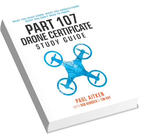
Download our No #1 Resource: Part 107 Study Guide
What's Inside this Guide?
- 2500+ pages of FAA material broken into digestible easy to read 279 pages
- Includes over 350 sample quiz & test questions(with answer keys)


