Most courses tell you WHAT to do. We show you HOW to do it—because we do it every day for clients. Learn the workflows that top professionals use, from Netflix to Disney to Marriott Resorts, and get ready to produce footage that wows clients every time.
Safe Drone Operations
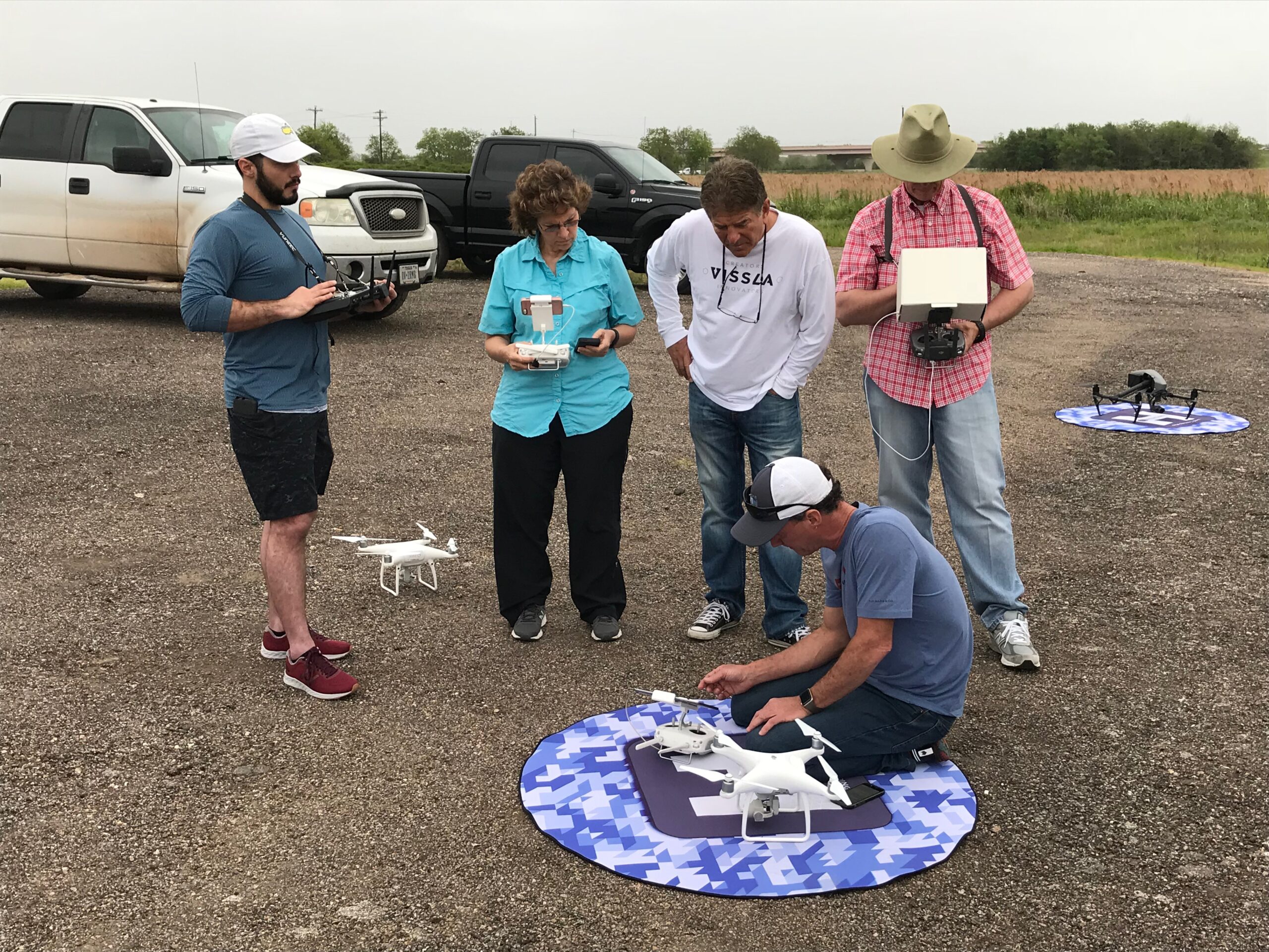
Master the art of safe drone operations in challenging construction environments. This course covers essential safety protocols, risk management strategies, and emergency procedures.

Value: $238 (save $91)

We're confident you'll love this course, but if for any reason you don't, we've got you covered with a no-fuss 30-day money-back guarantee.

Learn from instructors with real-world experience in drone mapping and modeling, bringing you practical wisdom and insights.

Get direct answers to your questions, and learn from your peers in our friendly and supportive community forum.

This training empowers you to master the practical workflows of creating 2d maps and 3d Models in a variety of softwares so you can always get the job delivered.

Once you're in, you're in for life. Come back anytime for a quick refresher. Never loose access to a course you have purchased.

Learn from the pioneer in drone training with over 20,000 drone pilots trained and a vast experience spanning a decade
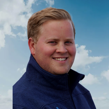
Paul Aiken is a highly accomplished drone industry leader, educator, and aerial data specialist with over a decade of experience pushing the boundaries of UAV technology. A graduate of the University of New Mexico with a degree in criminology, Paul has also studied international finance at Charles University in Prague and holds graduate certificates in data analytics from MIT.
Since entering the drone industry in 2011, Paul has built an impressive track record as a DJI-sponsored pilot for nearly 11 years, winning awards such as Video of the Year for the World Series of Wakesurfing. His expertise extends across mapping and inspections, having successfully mapped most of the baseball stadiums in the U.S. for radar inspection and interference mapping and contributed to large-scale construction and infrastructure projects.
Paul has trained and developed some of the largest drone programs in the country, spanning construction, utilities, and critical infrastructure. As a certified photogrammetry instructor with Pix4D, he is passionate about creating data-driven training systems that enhance flight precision, limit liability, and instill confidence in drone operators. With a deep expertise in flying low, close, and smooth in any environment, Paul continues to advance the industry by integrating cutting-edge drone technology with real-world applications.
Join over 20,000 successful drone pilots who've transformed their editing game through real-world training. Whether you're building a business or pursuing your passion, we've got you covered.
No. We start with fundamentals but quickly move to professional techniques. You'll learn at your pace.
If you're creating drone content professionally or planning to, yes. These are the same workflows we use for major clients.
Yes! These techniques are designed to work with any drone, whether you’re flying a Mini, Air, Mavic, or Inspire.