Shooting & Mapping Construction Sites
The construction industry is the largest employer of drone services. From pre-construction to project closeout, drone uses can help save time and cost across the entire construction life cycle. In this exhaustive course, we discuss some BEST practices which can help YOU fly a construction mission safely and accurately. What is the #1 focus on a construction site? You will also learn about hardware and software requirements, GCP's and client deliverables. Watch this to get started in the construction industry.

ADU 0936
Can You Create Drone Maps Without a Licensed Surveyor?

ADU 0736
Can a licensed surveyor make more money from drone mapping?

ADU 0828
Key Steps to Survey Grade Maps and Getting Surveyors to Partner with You and Sign off on Your Work

ADU 0926
Expert Tips for Achieving Survey Grade Accuracy in Drone Mapping

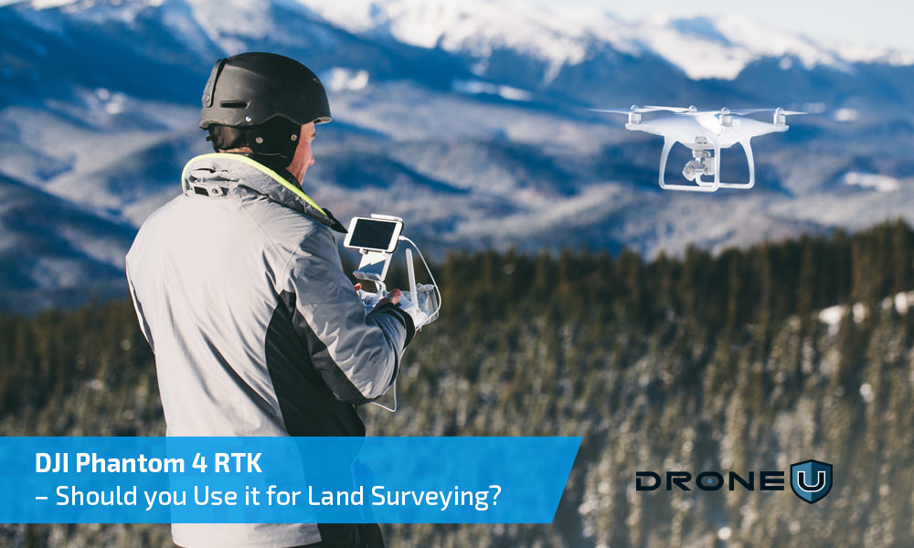
DJI Phantom 4 RTK – Should you Use it for Land Surveying?
The Phantom 4 RTK, launched in the latter half of 2018 was touted as the “Ultimate Mapping & Land Surveying Tool”. Does this drone live up to the hype? After extensive testing, we have discovered the essential pros & cons that will...

DJI Phantom 4 RTK Drone – All You Need to Know About This Surveying and Mapping Powerhouse
After the extremely successful launch of the Mavic 2, drone pilots were eagerly waiting to get their hands on the DJI Phantom 5. In the midst of all this, DJI sprung another surprise by launching the DJI Phantom 4 RTK drone. Like all DJI offerings, the...

Drone Pilot Field Kit
This "kit" is an important & helpful "tool" for any serious drone pilot as it contains documents best suited for handling questions & concerns raised by others not familiar with drone legalities. You should keep a copy of this on you at all times...

US Drone Laws by State
If you are in the United States and are unsure of the laws for each State then this is where you need to look. Know the variance in laws from State to State before you assume they are similar. You know what assuming does...don't be that person.


 Explore more on Drone U


