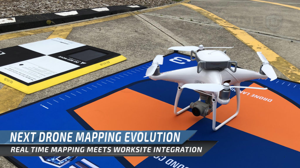
Propeller Aero recently received $26 million from investors to create the next evolution of drone mapping. Real time drone mapping meets worksite integration to efficiently take action from drone data.
Propeller Aero, who manufacturers the famous Ground Control Point (“GCP”) targets called Aeropoints, has received $26 Million in investments to streamline the drone mapping workflow. Propeller further pushes the drone mapping envelope as they have connected modern machinery to work in a drone environment.
Many drone pilots are familiar with the Aeropoints, as the product merges a GCP target with highly precise GPS unit. The Aeropoints are convenient to drone pilots who may not have a background in GPS or geographic information systems. GPS equipment typically has a complex workflow prone to human error, Propeller effectively eliminated that human error rather effectively. The aeropoints allow drone mappers to “set it…and forget it.” After deploying numerous aeropoints over a project area, the data collected from the drone can be “tied to the ground.”
Not only has Propeller streamlined the hardware for Drone Mapping, they also streamlined the software by providing cloud processing engine for drone mapping. Propeller has really helped the drone industry by providing convenient processing and interpretation of data through a classy online interface. Now, Propeller takes the advancements even further by streamlining data delivery to processors, data interpretation to pilots and data action by other IOT devices controlling things like tractors.
Next Wave of Drone Mapping
As of right now, once a drone pilot has setup his autonomous missions, he will take flight and capture images with programmed overlap. The pilot may then take flight to capture facade data or collect any imagery in areas that can’t be seen from above. The drone pilot will then deliver the photos and GCP’s to a photogrammetry processor to start crunching numbers. After numerous head-spinning trigonometry calculations, and we have our point cloud. This process has been streamlined with cloud processing but still takes precious time.
After interpretation of the data, we can take linear measurements and volumetric measurements. Pilots can annotate the map and even audit material deliveries. Drone mapping has vastly increased the speed of material measurement and project management. Albeit, some in construction argue that the time between flight and data interpretation is still too long. Propeller expects to solve this problem in numerous ways.
Drones have only accelerated worksite digitization. Yet many companies still struggle to interpret the data and act on it. Propeller hopes to increase worksite integration vastly, improving overall efficiency at every point in the workflow.
Scaling Drone Mapping to Expand the Unmanned Industry
Drone mappers will fly the mission, ensure data quality and begin processing in near real time. That’s nothing new. Propeller has launched a new product suite that will allow drone data to be uploaded to modern dirt moving machinery. These machines now have a map of the area, and a plan to execute within the new geo-fence. This new worksite integration takes drones mapping to a new level of convenience.
Propeller’s newest product suite, DirtMate will pair the power of data acquisition of drones, to the practical application of the data through modern industrial machinery. Processing data in near real time is only as powerful as how fast you can act on said data. 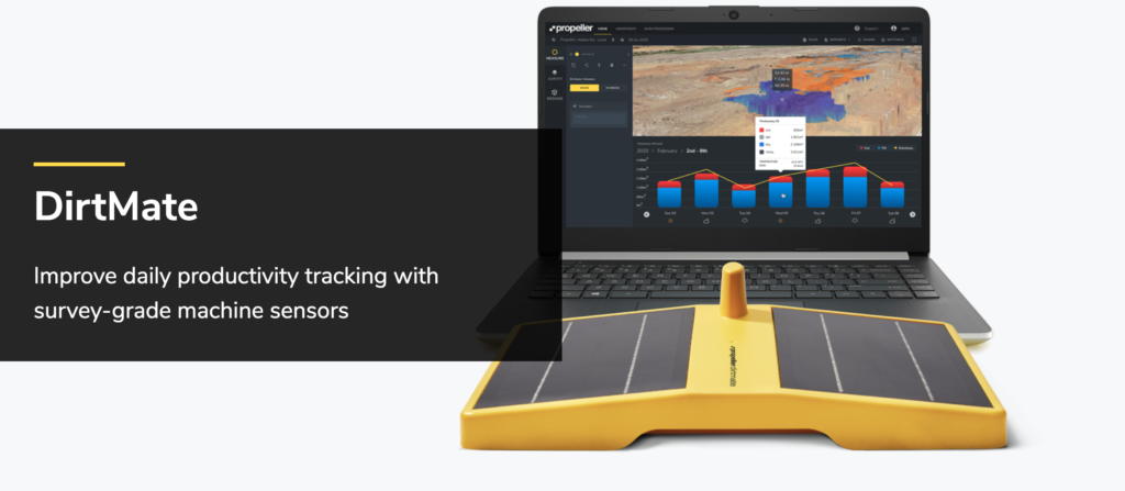
As drones have helped us digitize the world around us, DirtMate will allow tractors to work within that digitization or 3d Map. DirtMate product suite will also pair IOT devices (like GPS) with real time mapping to allow practical action after interpretation. Double grids aren’t just for drones….
Now tractors, dirt movers and other industrial equipment will work in tandem with drones to practically operate, and execute action plans, autonomously. Clients will even be able to see their worksite live, in 3D. Remote operation has never looked cooler.
What is truly exciting about DirtMate is the ability to process data so quickly, eliminating data transfer in numerous positions of the workflow. After scaling data processing with near-real-time results, clients will be able to simply send machines to act on this data. Propeller has achieved the next level of scale as they bridge the gap from data processing to interpretation to operation.
Numerous Verticals of Value for Construction, Mining & Engineering
Aside from simple cut and fill volume calculations at record time, drone data offers exponential value.
Now, drone mapping provides even more value than simple aerial measurements and elevations. Drone mapping helps contractors create more accurate bids and projections. This increased accuracy has been stated to help contractors acquire new contracts. Not only are more accurate bids more valuable, but the ability for contractors to have better real-time insights on projects is even more valuable.
Drone mapping can also help construction teams keep a project on time. Between more accurate bids, better insights and better timelines…. the money savings just continues to pile up. (So does the profit…you’d think).
For example, if our concrete contractor states they’ll pour 40 square feet of foundation pad per day. With our drone maps we can measure exactly how much concrete has really been poured. These calculations allow project managers to accurately gauge if the project is on time.
Propeller has really tied all aspects of the workflow together to make drone mapping more viable and effective for numerous industries.
Ready to turn your passion of flight into profit and learn drone mapping? Drone U has a virtual workshop coming up. Learn acquisition, terms, deliverables, workflows and numerous photogrammetry engines. You won’t find a more comprehensive drone mapping class online. Join Us. (Members do get a discount)




Add Your Comment