Drone mapping has taught hotels how to create maps with drones.
Many drone pilots argue that the best part of their job, is to help a client come up with a creative solution to various problems. Now drone pilots are using drone mapping to produce life-like orthomosaics that they transform into hotel maps. These simple visual maps can help hotel guests more-easily navigate the property and take advantage of amenities. Lodges, BNB’s and resorts may gain additional benefit from drone mapping as they can display the ability for social distancing.
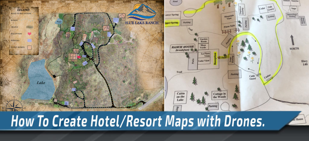
During a stay at a Bed-and-Breakfast Ranch, we were provided the guest map to navigate to our socially-distanced-approved suite. At first glance, the map didn’t match the comforting nature of the ranch. It was made primarily with simple lines and boxes. As we checked in, I looked at my wife and began to explain how powerful drone mapping would be for this awesome location. We desperately wanted to help the ranch. Especially when social distancing is a cake walk at this location, and it has become one of our favorite escapes in the wake of COVID.
“Honey, all we need to do is map the ranch. Delete some points and throw it in Photoshop.”
After explaining in depth to the marketing manager, we gained permission to fly the ranch. Drone mapping often provides so much data, we become overwhelmed and have difficulty decimating all the information. By taking a creative perspective, we can merge the technical aspects of drone mapping with the creative nature of photoshop editing. Hopefully we can succinctly explain how to create hotel or resort maps with the help of drones and photogrammetry engines like Pix4d & Drone Deploy.
Drone Mapping Workflow to Build Hotel Maps
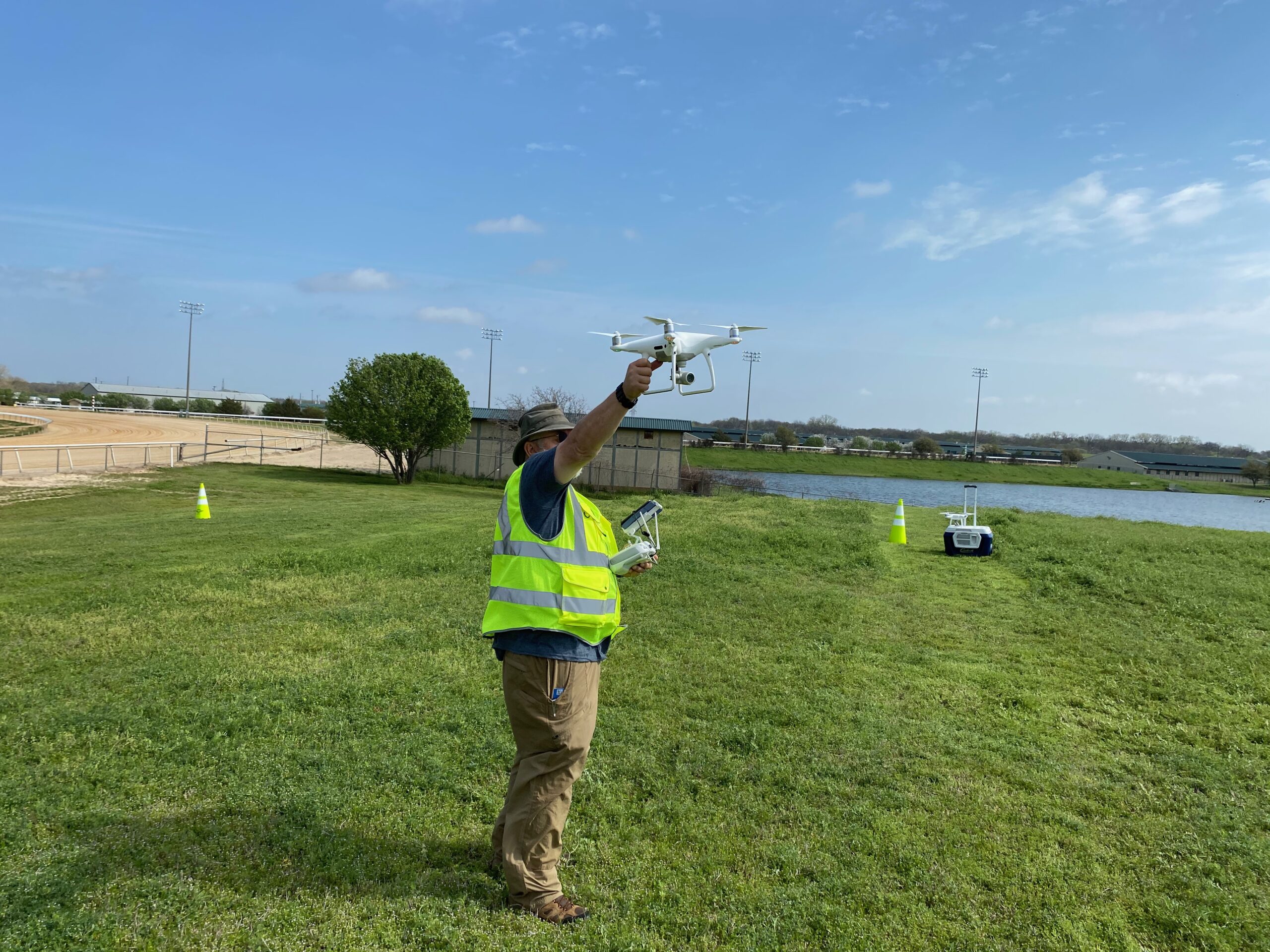
First we must select an acquisition app to control our drone and fly automated double grid. We select our preferences for camera angle, white balance and overlap to ensure the best quality of map. After setting up our mission to fly, its time to measure M.O.C.A. test our batteries and lay out some ground control points.
After flying we simply check out our images for anything we don’t necessary want. We setup our project in our drone mapping software of choice and begin to construct our point-cloud. After processing, we will need to trace the roads, trails, pools, ponds and even lakes. We’ll remove these points, setup the desktop background color in our software. Now, take a screen shot and choose your base map from a stock photography website of choice. Frankly, the ability to trace all of the existing assets on the ground creates an efficient process to the creation of the map.
After adding the icons, categorizing the roads and adding some visual photoshop magic… we have a new map for the hotel to provide to guests.
Benefits of Drone Mapping for Hotels & Resorts
Typically when we travel to a resort or large hotel, we’re given a map that helps us understand how to avoid hanger and tells us where to park. More often than not, we’ll find the nearest pool and the relative distance to the bar. Now… I don’t know about you… But I’d like to plan for the shortest walk possible from the pool to the bar. (Ok…call me lazy)
Now therein lies our problem. While most of the resort maps look visually stimulating with cartoonish icons and dotted lines…the maps are not to scale. Thus I would be unable to accurately understand the walking distance from the pool to the bar. We would be unable to compare the distances from each bar and pool. Due to this issue, now we have to walk to every pool. This wastes valuable vacation time.
Drone mapping allows pilots to create orthomosaics with a relative precision. Using ground control points, we can better control the relative and absolute accuracy. This map should end up providing a deliverable that is relatively to scale.
Problem solved, hotel guests will now be able to compare distances from the bar to each pool. The decision for the best pool location will be much easier. The map will help guests save time and provide them with a better understanding of the amenities available and more importantly how to get there.
Joking aside, this type of map could be extremely useful for any of our dear friends who are restricted by a wheelchair. The hotel maps could help provide a visual representation of the best navigation routes. Often when we travel, we simply want to feel appreciated. By providing increased information and an to-scale visual representation, you may make someone’s day.


Add Your Comment