How Drones are being used for construction site monitoring, volumetric assessments and creation of timelapses
Steve Jobs maniacal quest for perfection is one of the reasons behind Apple’s success. This philosophy has certainly permeated into Apple’s DNA. This was evident when Apple fired DPR Construction and Skanska, lead contractors for their prestigious Apple “Spaceship” campus. DPR and Skanska were not able to match up to Apple’s exacting standards. Now, DPR and Skanska are no novices – both have managed multi-billion dollar construction projects.
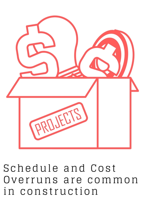
“Inability to match up to a client’s demands results in ballooning costs and expensive project delays. And if the differences cannot be ironed out, construction litigation”
The Central Artery/Tunnel Project, popularly known as “The Big Dig” is perhaps, the most ill executed construction project in recent times. Originally estimated to cost $2.8 billion, project cost ballooned to $14.6 billion. Likewise the first capital expansion (North Terminal) at the Miami International Airport saw significant cost overruns and construction claims to the tune of millions of dollars – A massive waste of tax payer’s money. I agree that construction management is an extremely broad and complicated field. However drones can certainly help better manage these ever increasing client requirements.
“According to McKinsey, construction is among the least digitized among all industries. Maybe that is the reason that large infrastructure projects typically take 20% longer to finish”
In this blog post, I present some strong uses cases for drones in construction – site monitoring, quantity estimation and creating timelapses. Are drones cheaper and better than traditional surveying methods? How can drones help monitor a construction site? Why should you consider providing a time-lapse video as an up-sell to the builder? What are some FAA rules that are prohibiting the usage of drones in construction? Read on to find out.
How using drones for monitoring construction sites can facilitate better communication
McKinsey estimates that the construction industry loses $3 trillion annually. Design changes, scheduling mistakes and poor construction management practices can be attributed to this astonishing figure. Construction projects involve numerous stakeholders – owner, contractor, project manager, architects, site supervisor, structural engineer and more. The success of a construction project hinges on the ability of all these stakeholders to seamlessly communicate accurate data to each other.
Yes, photography can be used to monitor the construction progress. And with the advent of smart phones, this has become more prevalent. The problem, however arises when the project managers do not have a protocol in place to preserve this evidence. So, this is, at best a makeshift process.
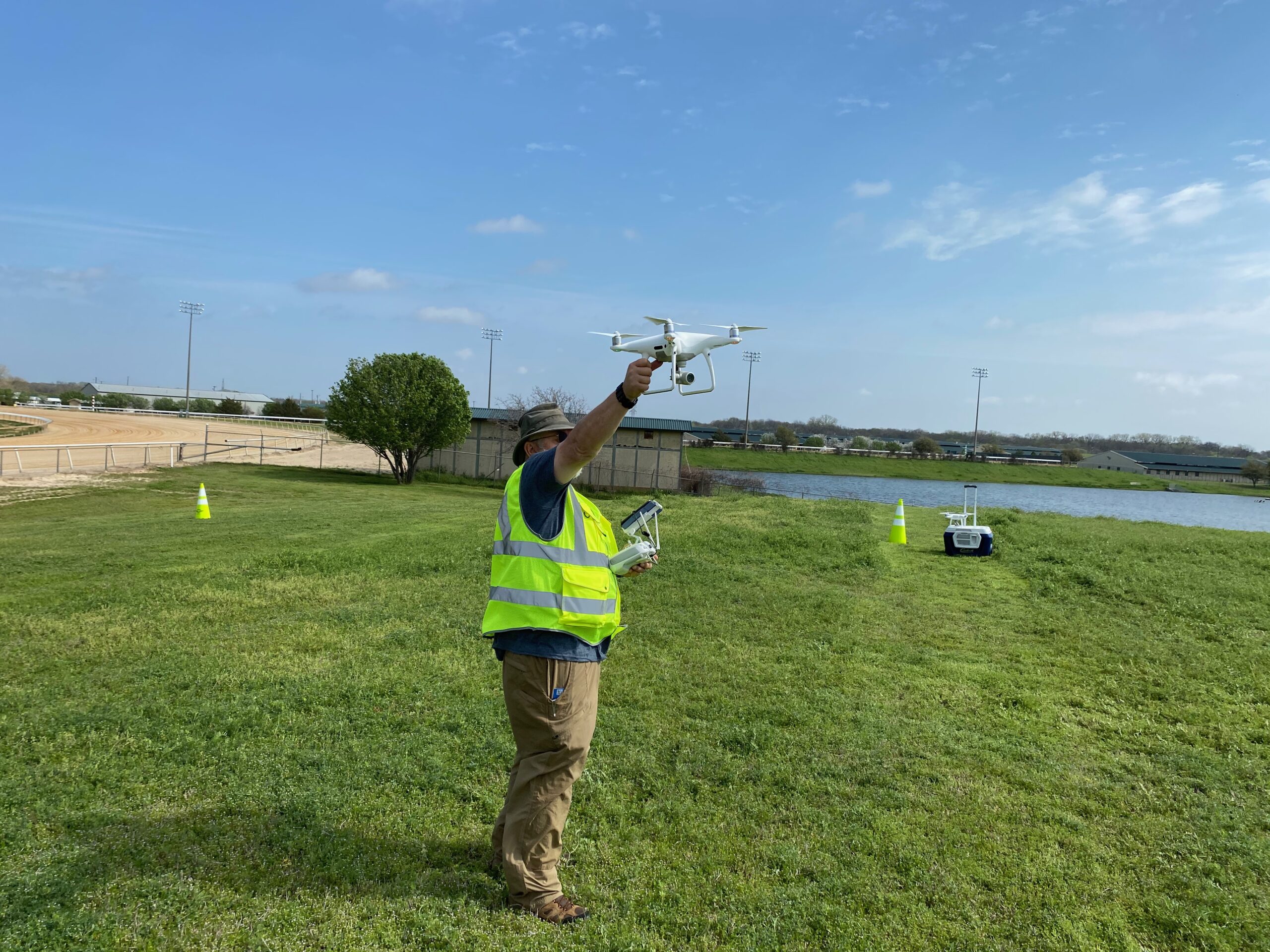
Drones can address this problem by procuring accurate, real time data. Drones can be used to reach hard to reach areas also. This would be particularly advantageous while drilling an oil field, for instance. The project manager can comfortably view construction progress remotely from the comfort his/her site office. Using drones we can simplify the data collection process and also produce more accurate construction progression reports.
Using drones for accurate quantity estimations on construction sites
Let us explore a use case for estimating quantities and costs in construction. Let us say that you are a contractor planning on taking up an excavation + fine grading job for a large 10 acre site. What are your options? You can, of course, opt for a traditional approach by hiring a manned surveying team. Once you get this data, you can digitize it and compute take-offs using one of the many software available in the market. Using a manned surveying team is fast becoming an outdated concept – they take an insanely high amount of time to procure and process the data.
You should strongly consider using drones in construction for estimating quantities. If you hire an experienced drone pilot who has the right equipment to back him up, you can get survey grade data quickly and without breaking your bank. Coming up with the right client deliverable, however can be a challenge. Often clients want to run their own measurements. In order to do so, you will have to create a 3D point cloud with a mesh overlay. And you will need advanced mapping skills to do so. You can use Solid Works or Auto Cad viewer to view this mesh overlay. This depends on which tool the client is using.
Sophisticated clients use highly expensive GPS blade control technologies or machine control cost systems to do the actual excavation and grading work. They rely on RTK positioning. Machine control systems are manufactured by Trimble, Leica or Topcon.
“Accurate quantity estimations are critical – you need to know the amount of work involved. Using a combination of drones and GPS blade control can enable you to accurately estimate your project profitability”
Some of the biggest mining companies in the world were able to estimate their stockpiles inventories to 2-5% accuracies. Refer this link to learn how using photogrammetry and Pix4D, you can achieve this high level of accuracy for random shapes like stockpiles also.
Marketing Tip – Shoot a Great construction hyper lapse with your drone
Shooting a Contruction Hyperlapse can work to your advantage. You are not really putting in any extra effort since you are taking advantage of the time that you have on the site. A well shot and well edited hyperlapse is of great value to the client – It greatly helps market the property.
Editing a timelapse is tricky. Bear in mind that every day of your shoot is going to be different. Because the sun light is different in every image, the exposure values are different. If you attempt to stitch together images with varying exposure, you will end up with a shoddy product. To counter this, you can consider shooting on slightly overcast days.
Factors inhibiting the usage of drones in construction
Bear in mind that you might need permits if you are shooting an infrastructure project. If you do not factor in cost of the permits as well the opportunity cost (time taken to procure permits can be significant), you might end up losing money.
High rejection rates for Part 107 waivers is another factor deterring the usage of drones in construction. This makes it difficult to monitor large construction job sites. Lifting the line of sight restriction, for instance will make UAS operations cheaper – the need to reposition the equipment will be negated.
Another factor inhibiting the usage of drones is the highly prohibitive cost of LiDAR. Using photogrammetry is not advisable for topographic mapping of a tract of land covered with dense vegetation. You need LiDAR equipped drone for this. Using LiDAR enables you to cut through the dense vegetation and give you an accurate depiction of earth’s line.
Conclusion
Drones can be a cost effective and accurate way of preventing scheduling and cost overruns for construction projects. Annual leakages estimated at $3 trillion and extremely low levels of digitization means that the construction industry is ripe for the rapid adoption of UAV technology. Better FAA drone rules and more affordable technology will go a long way in increasing the usage of drones in construction.
Check out our Medium page for more such content
Do not forget to subscribe and Listen to Ask Drone U, the #1 drone podcast
Connect with a vibrant drone community by becoming a Drone U member


Add Your Comment