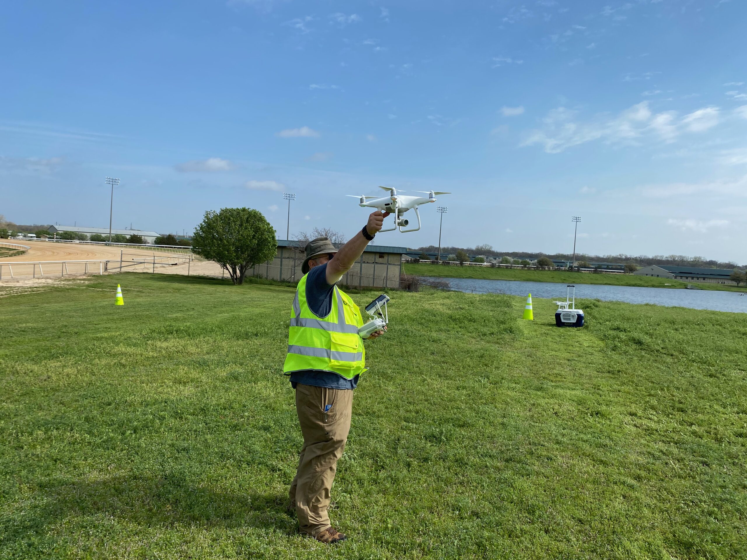
The trend of utilizing small Unmanned Aerial Systems (sUAS) for mapping and modeling of real world features is on the rise. This technology is being integrated across a vast number of commercial/industrial sectors. As integration becomes more prolific, the demand for training increases.
In this article I take a look at the ways sUAS operators utilize this technology to help fulfill demands across a variety of commercial sectors. So, where exactly is this technology being used? Using drone mapping in surveying (for creating accurate maps) and construction are not the only uses. Though these aforementioned uses are prolific and growing, the ways we utilize data in other areas is increasing and not apparently obvious. For instance, did you know that a sUAS can be used to map/model tropical resorts and coral reefs? Some other creative applications include mapping/modeling MLB stadiums and PGA golf courses.
Let us take a closer look at the final deliverables across these various applications. This will help us understand the approach that we at Drone U take when offering and teaching our mapping courses.
What Makes Drone U an Awesome Value Proposition?
There are a variety of different sUAS schools out there that that can teach you about data acquisition and processing. So, what sets Drone U apart? Our course is taught by the industry’s best with solid, real world experience.
Our goal is to offer a comprehensive course that covers all aspects of mapping and modeling with sUAS from acquisition, through processing and all the way into deliverables. With the latter area we go into great detail on how to market and price your services. Before we dive in to the various aspects of the sUAS mapping training course at Drone U we’ll begin by reviewing the various aspects of sUAS mapping.
How to Zero in on the Right Acquisition Technique for Producing GREAT Data
The most critical part of data collection is the acquisition technique. It’s very simple – without good data you cannot produce good results. You can make your data better through advanced processing techniques in Pix4D Mapper (P4DM). But you CANNOT get good results from bad data.
So, which acquisition technique should you use? To determine this, you should consider the type of deliverables that your client is looking for. We can break down deliverables into two basic categories – 2D (maps) and 3D (models). For 2D maps the common deliverables produced are orthomosaics, Digital Surface Models (DTM), contour data and Google KML maps. And point clouds and 3D meshes are the common deliverables for 3D output. Point clouds are the initial product that all other files and deliverables are based on.
To control the geospatial placement of the map/model in the real world, Ground Control Points (GCP) are utilized to tie a point in the mapped area into the local/world coordinate system using GPS data. During processing GCPs are imported in to the project. This not only helps properly scale the map/model but it also increases the absolute accuracy by orders of magnitude. In our course we cover various different GCP and GPS types as well as techniques for importation into the project.
How can Drone U Help you Refine your Processing Techniques?
Once all data is acquired, a processing engine is used to reconstruct the area that was mapped in both 3D and 2D. At Drone U we use P4DM which is an industry standard, scalable application developed by Pix4D. In the course we go into great detail into all steps and associated parameters within each of these steps. For instance, with complex models like a baseball stadium we will use three or four different data acquisition techniques. These include standard or double grid mapping missions, inner and outer orbital missions, and free flight.
Generally speaking, the processing engine cannot process all of the data together at once. So sub-projects are required. To ensure proper merging of the sub-projects, Manual Tie Points (MTPs) are added to each of the projects. Apart from tying the sub-projects together into one large project, these MTP’s are also used to help clean up certain areas of the project. This is achieved by manually telling P4DM how to better match areas with less data or increased noise (these two being mutually inclusive).
Practical Insights that will Help you Build a Successful Drone Business
The last piece of the course is arguably, the most valuable. Here, you will get a chance to look at the various different file types that we produce with P4DM. You will also learn how these relate to client deliverables. We have a long list of how these maps and models can be used across different business sectors. And this list continues to grow as we recognize new ideas. We devote a good amount of time to help you understand this aspect. Additionally, we also explore how you can effectively market and price your work. In this piece of the course, you will receive practical business insights to turn your passion to profit.
Upcoming Drone U Offerings
Drone U is offering a number of upcoming trainings. Our next course is in Houston, Texas. If you are interested in being a part of a fun and informative experience, sign up here.
Do not hesitate to contact us for information on any current or upcoming classes. At Drone U, we also offer customized private courses for strategic corporate partners. If your company or corporation is interested in integrating sUAS mapping and modeling in-house, we can build a course to address your specific needs. Email us! We look forward to hearing from you.
~Doug La Farge (CEO, DT Aerial Photography LLC)
Check out our Medium page for more such content
Do not forget to subscribe and Listen to Ask Drone U, the #1 drone podcast
Connect with a vibrant drone community by becoming a Drone U member


Add Your Comment