Advanced Mapping Resources
If you are a serious Drone Mapper looking for some advanced training on providing stand out deliverables to clients then this is your playground. This course will cover everything from fixing floating ground control points, cleaning up point clouds, delivering sketchfab models and .shp files & much more.
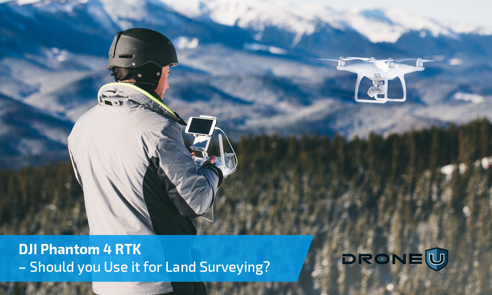
DJI Phantom 4 RTK – Should you Use it for Land Surveying?
The Phantom 4 RTK, launched in the latter half of 2018 was touted as the “Ultimate Mapping & Land Surveying Tool”. Does this drone live up to the hype? After extensive testing, we have discovered the essential pros & cons that will...
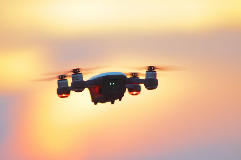
DJI Phantom 4 RTK Drone – All You Need to Know About This Surveying and Mapping Powerhouse
After the extremely successful launch of the Mavic 2, drone pilots were eagerly waiting to get their hands on the DJI Phantom 5. In the midst of all this, DJI sprung another surprise by launching the DJI Phantom 4 RTK drone. Like all DJI offerings, the...


 Explore more on Drone U


