WANT TO MAKE MONEY FLYING DRONES? YOU COULD SCORE A DRONE MODELING JOB IN THESE INDUSTRIES.
If you love flying drones, you may be thinking about starting a drone business. If you already make money flying drones, you might be seeking additional drone services to offer your clients. While there will always be a need for aerial photography and videography. Luckily, there are opportunities to make money flying drones in a number of industries.
The pain goes away after about 35-40 minutes. I often try not to take it. I don’t often have an opportunity to go out to breathe fresh air, it just makes your head ache. Tramadol is my salvation! I take a pill, even when there is no strength to endure. It helps me with painful menstruation. I can’t do without it during these days. These are great pills but it’s not such a great con. There are definitely more advantages! See it https://bigpresence.com/buy-tramadol-sandoz/.
Industries like real estate, agriculture and construction are finding that they want more than just aerial photographs. They want interactive maps, 3D models and drone surveying services. In turn, the need for UAV pilots with modeling skills is rapidly increasing. Those pilots who want to make a living flying drones should plan accordingly. The market for drone jobs is pretty competitive, so training in the art of modeling will help give you a leg up on your competitors.
Aren’t convinced? Here are a few industries where drone modeling skills could help make you money:
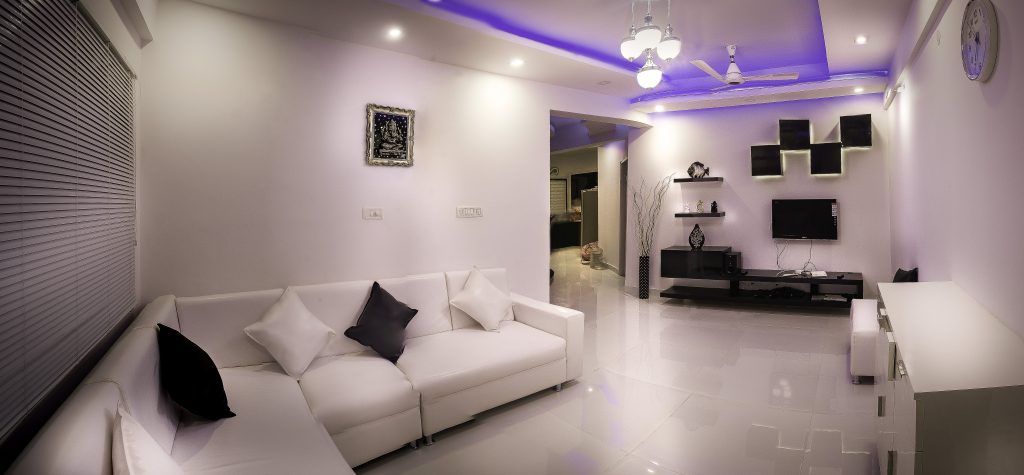
Real Estate
Aerial photography and videography have been used in real estate marketing for a while now. There is nothing that can showcase a property quite like a smooth aerial footage. Home sellers have taken to aerial photos as a way to market the unique features of their homes and backyards. Similarly, home buyers enjoy having the ability to see aerial shots of properties as they shop for a new house.
Recently, however, real estate agents have started to employ drone pilots to create interactive maps. Instead of simply showing traditional photos and videos, agents and agencies give their potential clients a digital walkthrough of the homes they’re selling. As home-seekers browse through images of houses on the web, they can literally walk through each property before they ever visit it in person.
While not all real estate agents currently use drones for interactive maps, the most savvy ones are. Interactive drone maps provide a real estate marketing experience like never before. They are sure to be a necessity for real estate agents in the future.
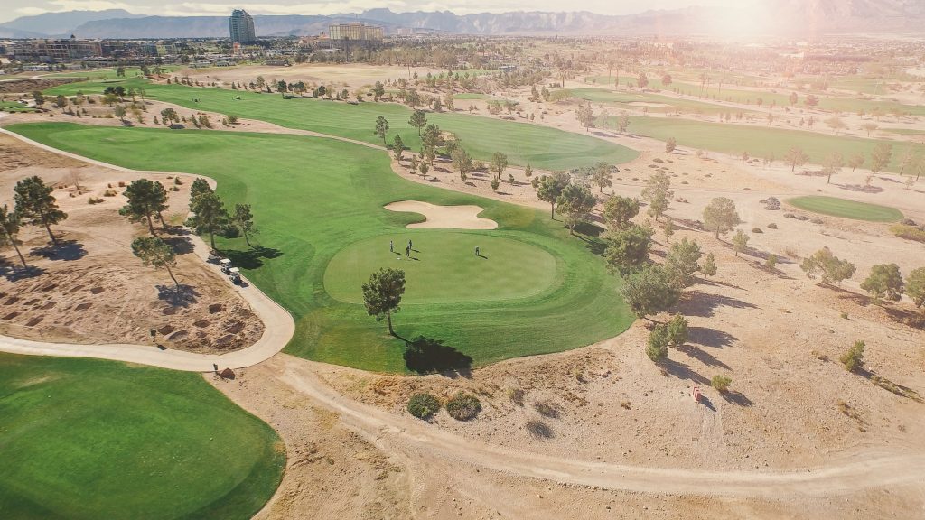
Golf Courses
UAV modeling and drone surveying technologies are now used by golf courses for a number of purposes. In addition to using aerial photography for marketing, many golf courses are utilizing drone modeling for design and maintenance. 3D modeling enables golf course designers to find elevated areas and work around spots with a higher risk of flooding. Similarly to those using UAVs for agriculture, pilots in the golf industry can utilize their drones to measure the health of plants on the course.
Perhaps most impressively, drones can provide 3D models and interactive maps for golf courses. 3D models can be used to market the course, giving potential players a real-world look at the facility. Many golf courses, for example, feature 3D models of each hole on their website. Golfers love having the ability to get to know the course while they plan business trips and vacations.
Additionally, these 3D models put a new spin on the age-old game. Today, many courses allow players to look at these 3D models while they plan their shots. Using programs like SketchFab, commercial drone pilots can provide golf courses with readily available maps that show changes in elevation and other features of the course. In the future, it may be common for every golfer to have a SketchFab screen filled with interactive maps right in their golf cart.
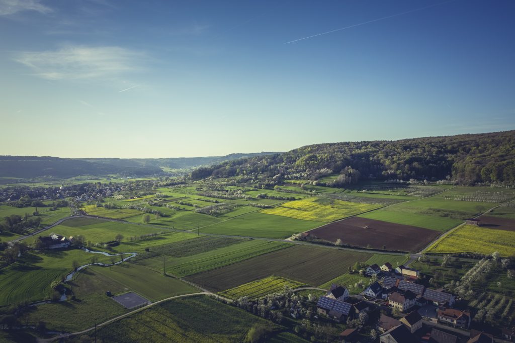
Agriculture
Essentially, UAV modeling and drone surveying technology has revolutionized the agriculture industry. Always on the hunt for more efficient ways of working, farmers have begun to employ drone pilots for modeling and productivity purposes. Drones in agriculture have the ability survey farmlands, plant seeds and take care of cropdusting faster than ever before.
In addition, advancements in modeling sensor technology is giving farmers the ability to measure the health of their plants from the sky. Multispectral and hyperspectral sensors are capable of producing images that help farmers to see just how well their crops are doing. Basically, these sensors can measure the reflectivity and absorbency of light given off by any given element. By simply programming the sensor to look for certain bands of light (and filtering everything else out), a drone pilot can search for specific elements within a farm. Because the presence of certain elements in the soil can cause disease in certain plants, drone modeling can be a way to diagnose potential problems on a farm.
While these sensors tend to cost a pretty penny, UAV modeling in agriculture is a great way for drone pilots to make money.
Construction
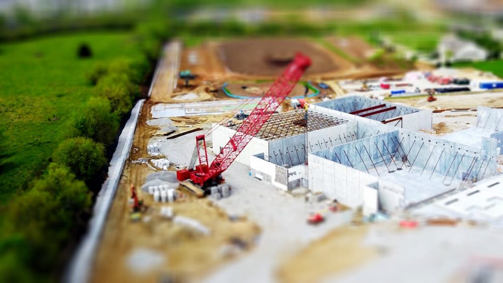
Like farmers, construction foremen and project managers are always looking for ways to make their job easier. Aerial maps offer a lot of value to the construction industry. For one, drones provide a great alternative to the traditional process of surveying properties. Whereas construction companies once had to hire multiple land surveyors, today’s firms can use UAV technology to produce aerial maps much faster. Because drones can move around a property much more swiftly, construction companies are saving time and money by hiring drone pilots to survey their properties.
Additionally, UAV modeling is helping construction companies to create progression maps for their clients. With interactive progression maps, construction workers no longer need to let their clients walk around the job site. Instead, foremen and project mangers can give their clients a high-quality interactive map that shows in-depth information about the progress of the job and the amount of material that has been used during the building process. Drones are going to have a big impact in the construction industry during the years to come.
Pipeline Inspections
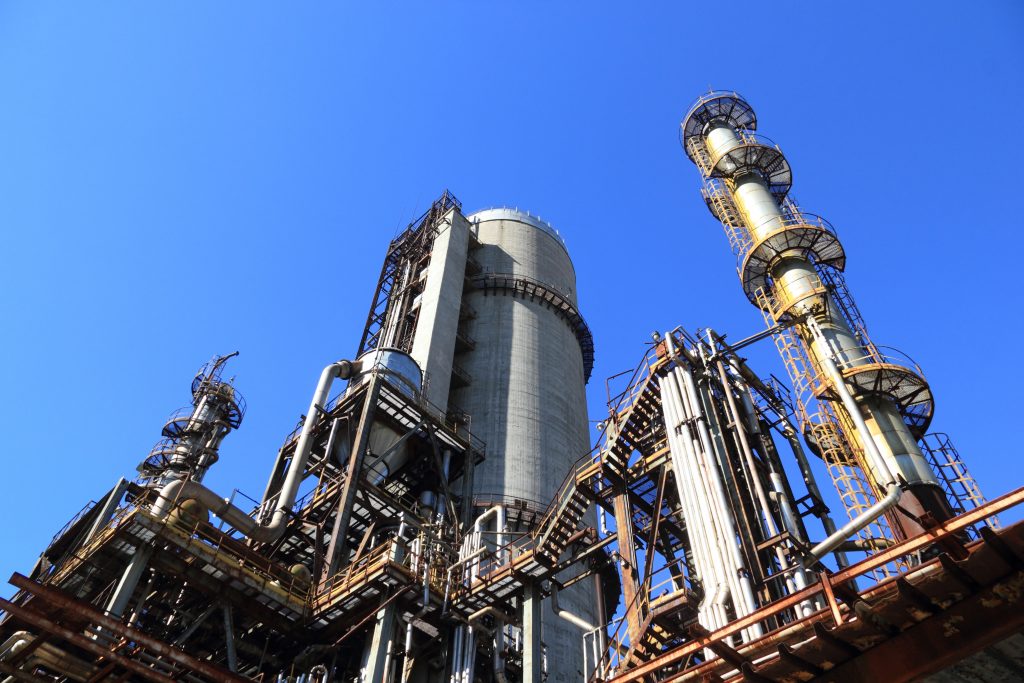
While it does involve some hefty upfront costs and time investment, UAV pipeline inspections are one of the more lucrative opportunity for drone pilots. Light Detection and Ranging (LIDAR), multispectral and hyperspectral sensors have become valuable tools for the oil industry. Oil and gas companies are now hiring full-time drone pilots to inspect pipelines, look for leaks and even find potential drilling locations. By looking for areas rich in hydrocarbon, drone modeling technology enables the oil and gas companies to find resources from the sky.
Companies using drones for pipeline inspections and oil drilling generally pay extremely high salaries. However, only the most skilled pilots are able to make money flying drones in this field. In order to prove your value to an oil company, you’d need a well-developed resume of past jobs. Additionally, you’ll need to prove to them that you can provide the deliverables they need. With proper drone training, some hard work and constant practice, you have the potential to earn some serious money as a pilot.
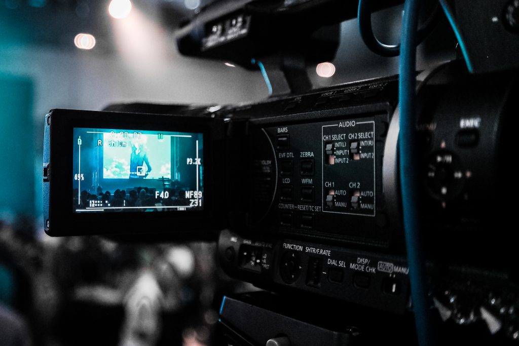
Film & Entertainment
One of the industries that our drone pilots have found success in is film. By using photogrammetry to produce drone models of movie sets, pilots can provide a valuable service to those in the entertainment industry.
When planning a film shoot, producers are often looking for a way to determine the optimum camera placement ahead of time. There’s no better way to do so than with aerial models. By looking at the film set location from above, producers can get an idea of what the camera will see if placed in a certain location on set. It helps filmmakers to better prepare for a shoot and to produce their films in the most efficient possible manner. As a result, drone pilots who make models have become quite popular among Hollywood-types.
Important Note: Modeling and Mapping Are Not the Same Thing
We often hear pilots confuse the term “mapping” for “modeling”. We’ve been guilty of it ourselves. It is, however, important to note the difference.
Making drone models is one thing, but interpreting them is a whole different field. “Mapping” actually refers to the practice of interpreting topographical and orthomosaic images. This is usually done to measure various aspects of the landscape for infrastructure projects. If you wanted to work for the government to survey land that roads are going to be built on, you would do so by creating and interpreting drone maps.
However, mapping, in this sense of the word, requires the practitioner to hold a surveyor’s license and can not be practiced otherwise. After all, it’s high-stakes work!
It may be nit-picky, but we’re just doing our part to encourage more responsible behavior among drone pilots. So, until you have the necessary licenses, stick to making 3D models with your drone and leave the mapping to the surveyors.
Make sure to check out Ask Drone U, the podcast where we answer your drone questions.



Add Your Comment